FluroSat
Eveleigh Australia
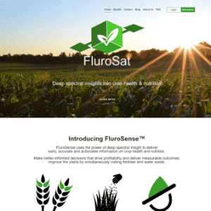
FluroSat uses satellites, drones, and some aerial imagery, to capture and analyze hyperspectral images of crops to predict disease and help growers make decisions.
SMART PRODUCT & SYSTEM TRENDS
Join 20,000+ readers for our free bi-monthly newsletter to stay a step ahead of the curve.

