Real-time flight and ship tracking is not particularly new. Most of us have watched the planes we are riding in slowly traverse the map on our in-flight entertainment displays or used Google to track a family members expected landing time.
These systems continue to advance in their accuracy and data types and provide a small glimpse into what kind of tracking can be done when more of our objects are networked enabled. It doesn’t take much imagination to see how this real-time information will integrate with other data sources to produce historic maps and understandings of the products we consume, where they were produced, and details on exactly how they arrived at our front doors.
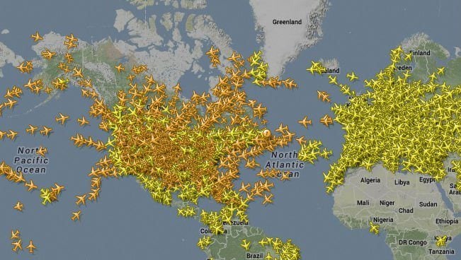
Using a community supported network Flightradar24 shows live air traffic from around the world. The primary technology the company uses to receive positional aircraft data is called automatic dependent surveillance-broadcast (ADS-B). and they have over 2,000+ ADS-B receivers in the field sending coordination data to the company’s servers. This information is combined with FAA data on a 5-minute delay (for security reasons) and made accessible to the public and developers via their website, mobile app, and API service.
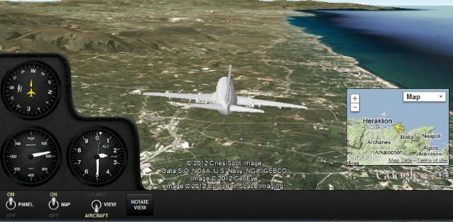
Users of the service can then track all of the flights in the world that are in the air at the moment, or dive into the cockpit of a specific plane courtesy of a new Google Earth integration feature.


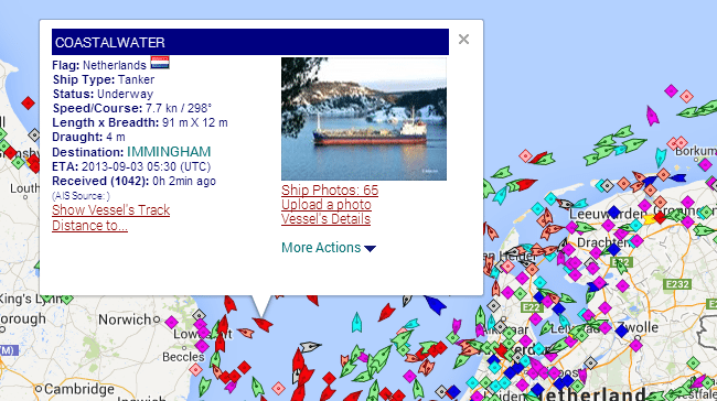
Marinetraffic.com does the same thing for vessels out on the open water. The system also uses a community network of receivers to capture and send data gathered from a ship’s Automatic Identification System (AIS) located on board. The transponder sends out details on a ship’s position, speed, course, and other static information like a vessel’s name, voyage details and dimensions.


To watch the live traffic or learn more about how these systems operate visit: Marinetraffic.com or Flightradar24.com.
Related: Jean Traceability,MirrorWorlds
Image Credits: Flightradar24.com & Marinetraffic.com
